DeepForestry
Autonomous drone for mapping outdoor environments
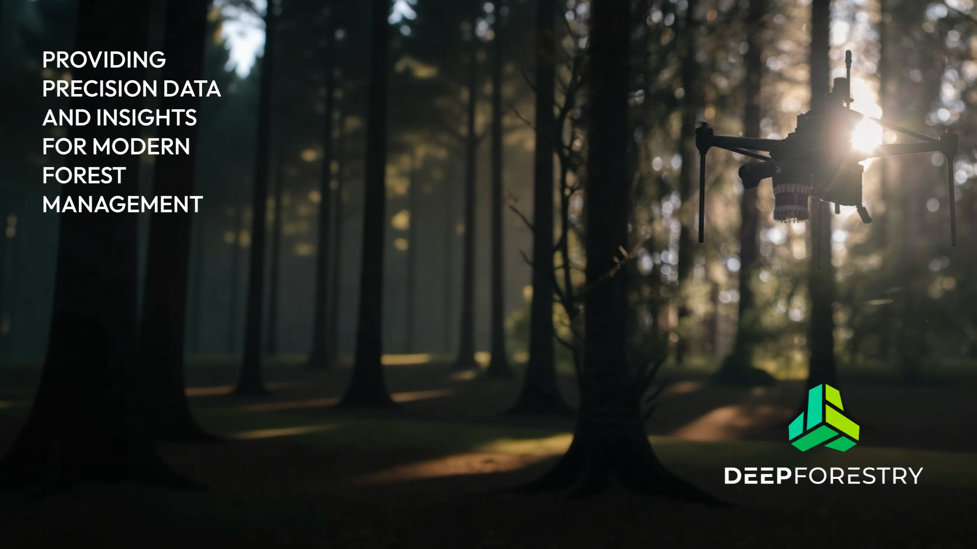
Autonomous drone for mapping outdoor environments
Commercial forestry manages vast, high-value assets that are critical to global supply chains. Yet many operators still rely on outdated inventories and manual field surveys to make decisions about harvesting, planning, and risk—often across millions of acres. Limited visibility leads to inefficiencies, misallocated capital, and unmanaged fuel loads that increase wildfire risk.
Deep Forestry uses autonomous drones and AI to modernize how forests are measured and managed at scale. Its platform collects and analyzes aerial data to generate tree-level insights—such as species, volume, biomass, and stand health—across entire forests. This gives forestry companies a current, consistent view of their assets without the cost and delay of manual surveys.
For commercial operators, that means better harvest planning, clearer visibility into timber value, and more efficient operations. At the same time, improved forest data helps reduce excess fuel buildup and supports more proactive management—strengthening wildfire resilience while keeping forests productive and healthy.